A multidisciplinary expedition to a drowned world beneath the Sunda Sea — and the question it forces us to ask about where civilization truly began.
At the close of the last Ice Age, a landmass larger than India stitched Southeast Asia together. Then the sea took it.
Around 11,700 years ago, post-glacial flooding drowned the vast Sunda Shelf in a series of catastrophic events echoed across the world's "great flood" traditions. Our central question is a bold one: was Sundaland a flourishing maritime culture whose survivors carried knowledge outward — seeding agriculture, astronomy and language into the settlements that later became Mesopotamia and Egypt?
The Sundalandia Discovery Project exists to test that hypothesis with rigorous, multidisciplinary science — geology, marine bathymetry, paleoclimatology and human migration studies — and to bring the evidence to the surface.


~21,000 years ago. At the glacial maximum, seas sat ~120m lower and the exposed Sunda Shelf joined Sumatra, Borneo and Java into one continent — larger than modern India.
Palaeogeographic maps © Dhani Irwanto
A ninety-second descent into the mystery, the evidence, and the mission ahead.
No single reading proves a lost world. Converging lines of evidence make it a question science can no longer ignore.
High-resolution multibeam bathymetry near Sangiang Island has mapped a striking rectilinear feature — a near-perfect square basin flanked by wall-like structures. Its geometry is difficult to explain by natural processes alone, and researchers believe it warrants direct investigation.
The abrupt climate reversal at the end of the last Ice Age drove rapid sea-level rise that submerged the Sunda Shelf. The timing aligns with "great flood" accounts recorded independently by cultures across the ancient world.
Prof. Stephen Oppenheimer's research traces threads of language, myth and technology outward from Southeast Asia. It offers a framework for how a displaced Sundaland population could have influenced the rise of later civilizations.
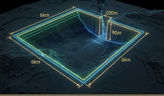
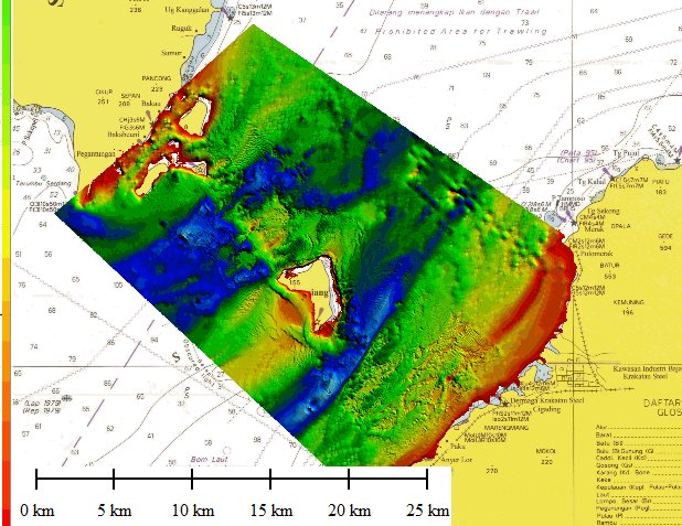
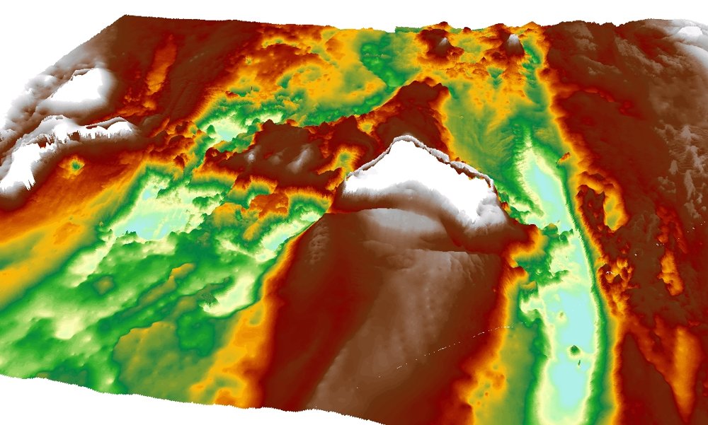
Phase I multibeam mapping of the Sunda Strait produced the first detailed picture of the seafloor around Sangiang — the plan-view survey and 3D relief shown here. This is the target Phase II goes back to film.
Precedent close to home: the megalithic site of Gunung Padang in West Java has drawn international attention for evidence of great antiquity — a reminder that Indonesia's deep past may be far older than the textbooks assume.
A phased mission that moves from remote mapping to human hands on ancient stone — broadcast to the world.
Multibeam bathymetric mapping of the Sunda Strait has located and characterised the Sangiang anomaly, establishing the target and the scientific case for going deeper.
Deep-sea remotely operated vehicles descend to −90m to capture the first high-resolution footage of the structure, documenting its scale, surfaces and geometry.
Technical divers and scientists conduct in-person expeditions to survey the site and recover artifacts — culminating in a live global broadcast of the discovery.

If the anomaly is what the data suggests, it is a testament to engineering that predates every monument we thought came first. There is only one way to know for certain — to go there.
Help us reach the seafloor
A registered Indonesian scientific society, governed by a Board of Trustees and led by founders in geology, oceanography, hydrography and energy.

Indonesia's Minister of Culture, and a historian and author with a longstanding interest in Indonesian history and heritage. He holds a Master's in Development Studies from the London School of Economics and a doctorate in History of Economic Thought from Universitas Indonesia.

A prominent Indonesian cultural figure — pianist, composer, writer and entrepreneur — and founder of the Museum Rekor-Dunia Indonesia (MURI). He has been active for decades across the arts, education and cultural initiatives in Indonesia and abroad.
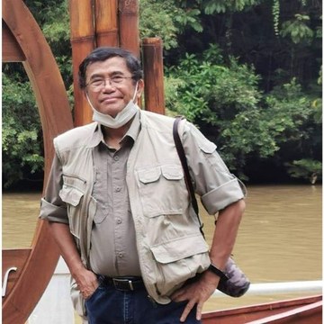
One of Indonesia's leading conservation biologists, a professor at Universitas Indonesia and member of the Indonesian Academy of Sciences (AIPI). Four decades researching biodiversity and evolution across the archipelago; PhD in Biological Anthropology (New Mexico), postdoctoral research at Columbia.
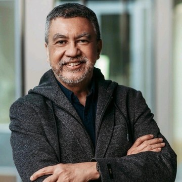
Energy professional with over 30 years across oil & gas, mining and nuclear. He co-founded and leads PT Xpert Synergy Solution, a consultancy focused on clean energy and nuclear projects in Indonesia.
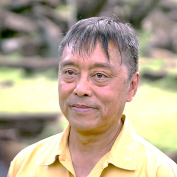
Senior geologist at Indonesia's BRIN specialising in geophysics, tectonics and paleoseismology, with a Caltech PhD and an ITB master's. His fault mapping has advanced understanding of seismic hazards across the Pacific Ring of Fire.

Coastal engineer and tsunami researcher chairing the Indonesian Tsunami Association (IATsI). Trained at ITB with graduate degrees from the University of Waikato in coastal oceanography and tsunami modelling, he leads the Tsunami Research Foundation Indonesia.

A retired Navy Rear Admiral and senior hydrographer, formerly Deputy Chief and Inspector of the Hydro-Oceanographic Centre (Pushidrosal). His fields include hydrographic surveying, seabed mapping, nautical charting and underwater acoustics.
Registered as a legal association with the Ministry of Law of the Republic of Indonesia — Decree No. AHU-0007040.AH.01.07.TAHUN 2025, 15 September 2025.
The Society's work has been presented to — and supported by — senior figures in Indonesian culture, science and industry.



We operate independently of state budgets. Backers make Phases II & III possible — the dives that turn a hypothesis into history.
Be named among the patrons who funded the search for the birth of civilization.
Exclusive access to documentary footage and co-producer status on the live-dive global broadcast.
Join high-profile supporters already standing behind the mission's national significance.
Phase II sends our ROV to −90m to capture the first footage of the structure. Explore the full budget, reward tiers and timeline on the campaign page.
Back Phase II · $350,000 goal
